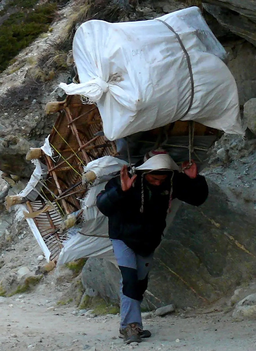
Sherpa
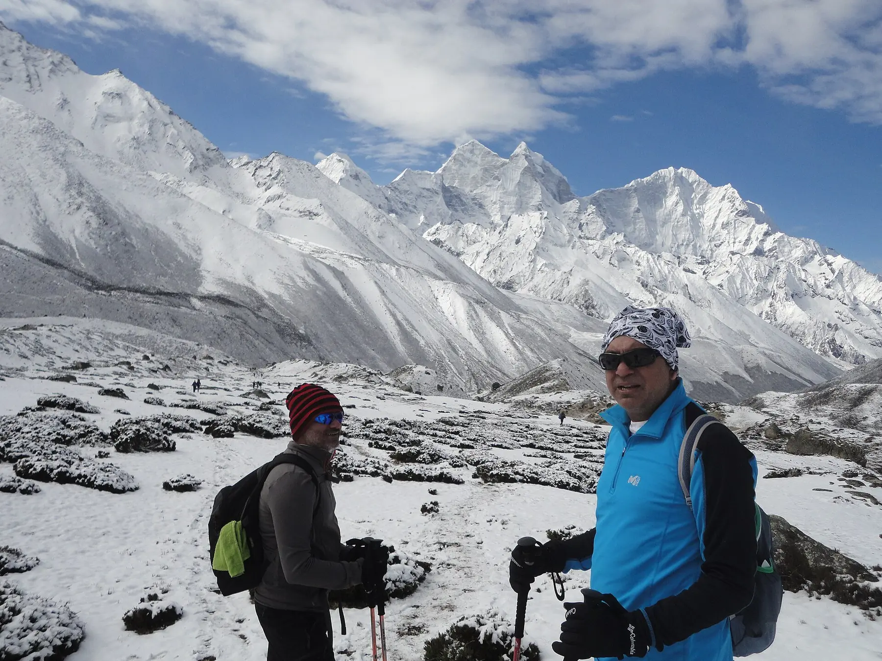
The high-altitude people of Khumbu — Tibetan-origin, Buddhist, and the civilisation that makes Himalayan travel possible: the trails, the lodges, the yak trains, the fixed lines on Everest itself.
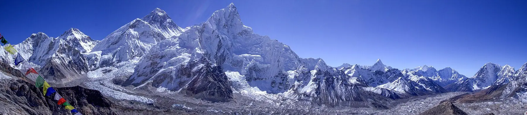
NEPAL
28°N / 84°E
THE
HIMALAYAS
You are not browsing Nepal.
You are entering the mountains.
WHERE EARTH
TOUCHES THE SKY
02 — Nepal at a Glance
0 m
Highest point on Earth
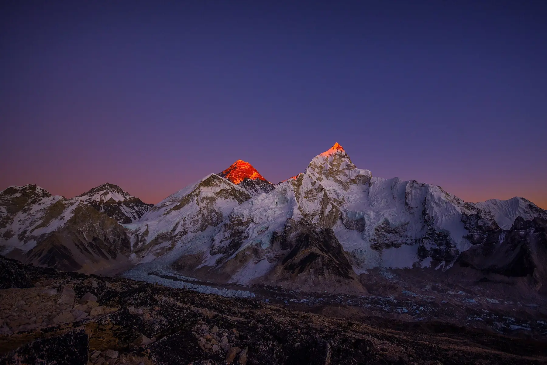
Everest, 2020 revised survey height
0
Eight-thousanders, of 14 worldwide
Nepal's share of the planet's 8,000 m peaks
0 km
The Himalayan arc
From Afghanistan to Myanmar, five countries
0 m
Annual uplift of the range
The Himalaya is still rising
1,400 m
altitude
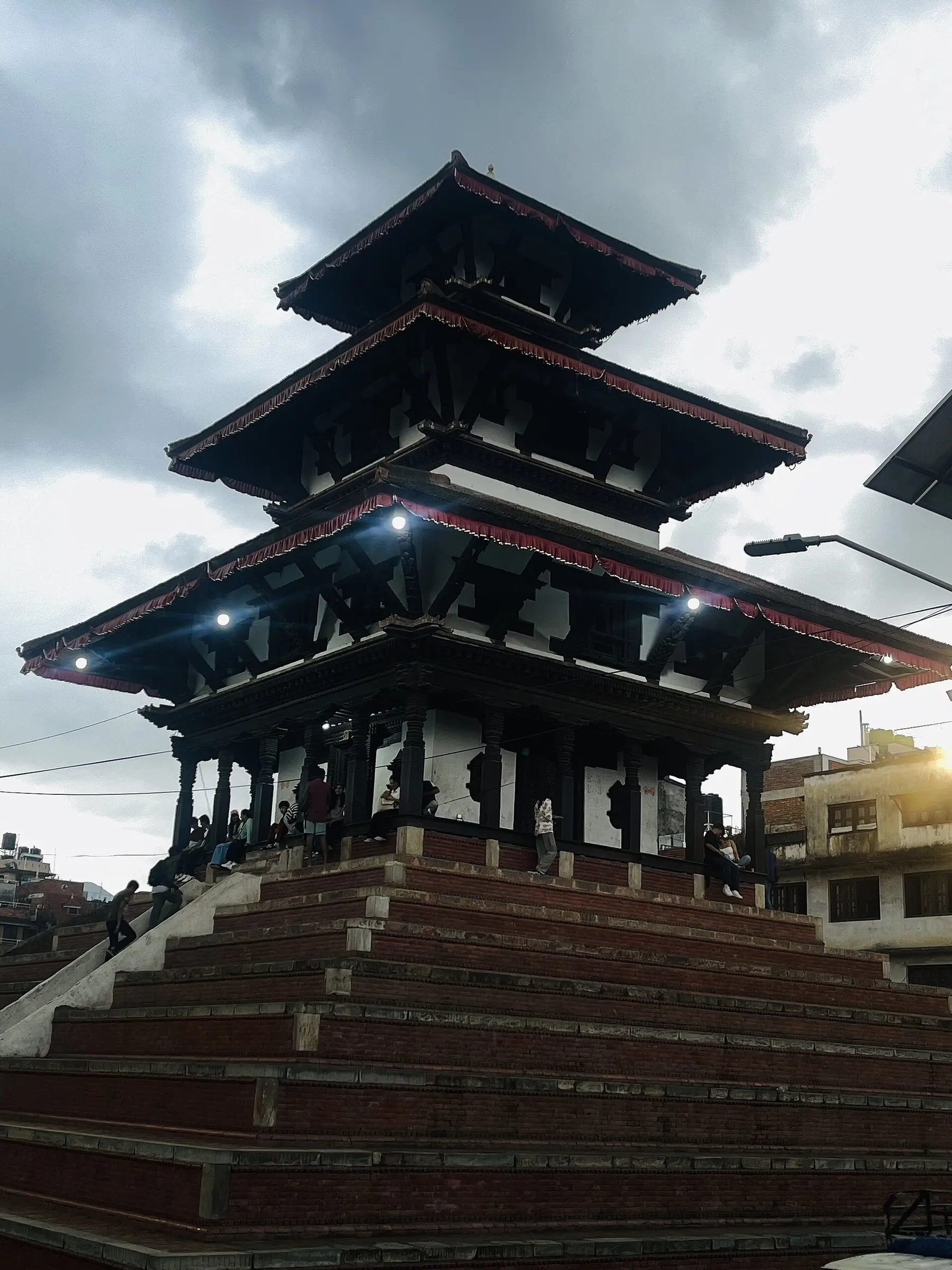
1,400 m — The capital
Brass bells, temple dust, and the last traffic jam before the trailhead. Every expedition begins in a city of a thousand gods.
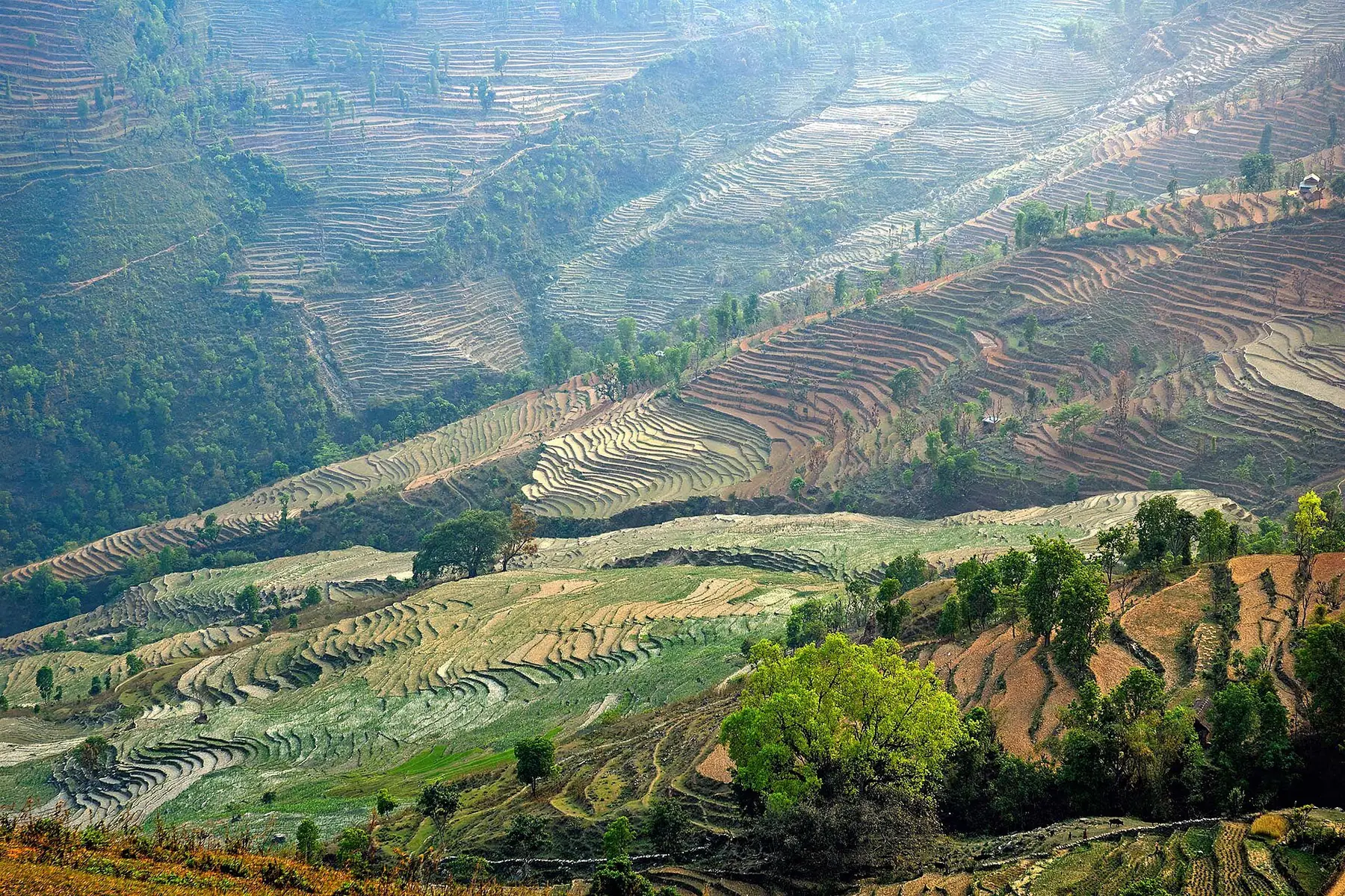
2,000 m — Mahabharat ridges
Terraces cut like contour lines, villages on every ridge, orange trees in every yard. The mid-hills are Nepal's heartland — 40% of the population lives on these slopes.
3,400 m — Namche & the forests
Rhododendron the size of oaks, and the first sight of the great wall. The tree line is close now; villages turn to stone.
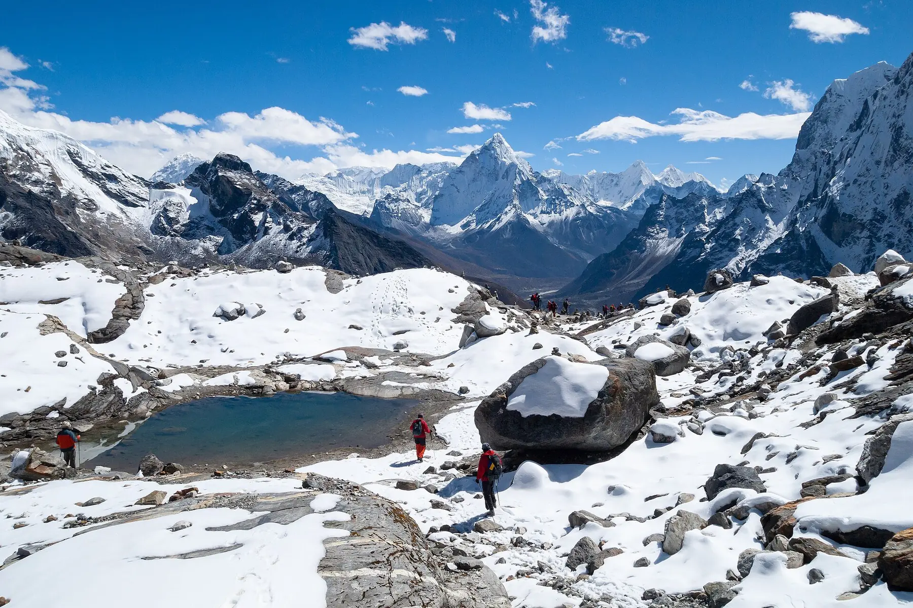
4,400 m — Above the trees
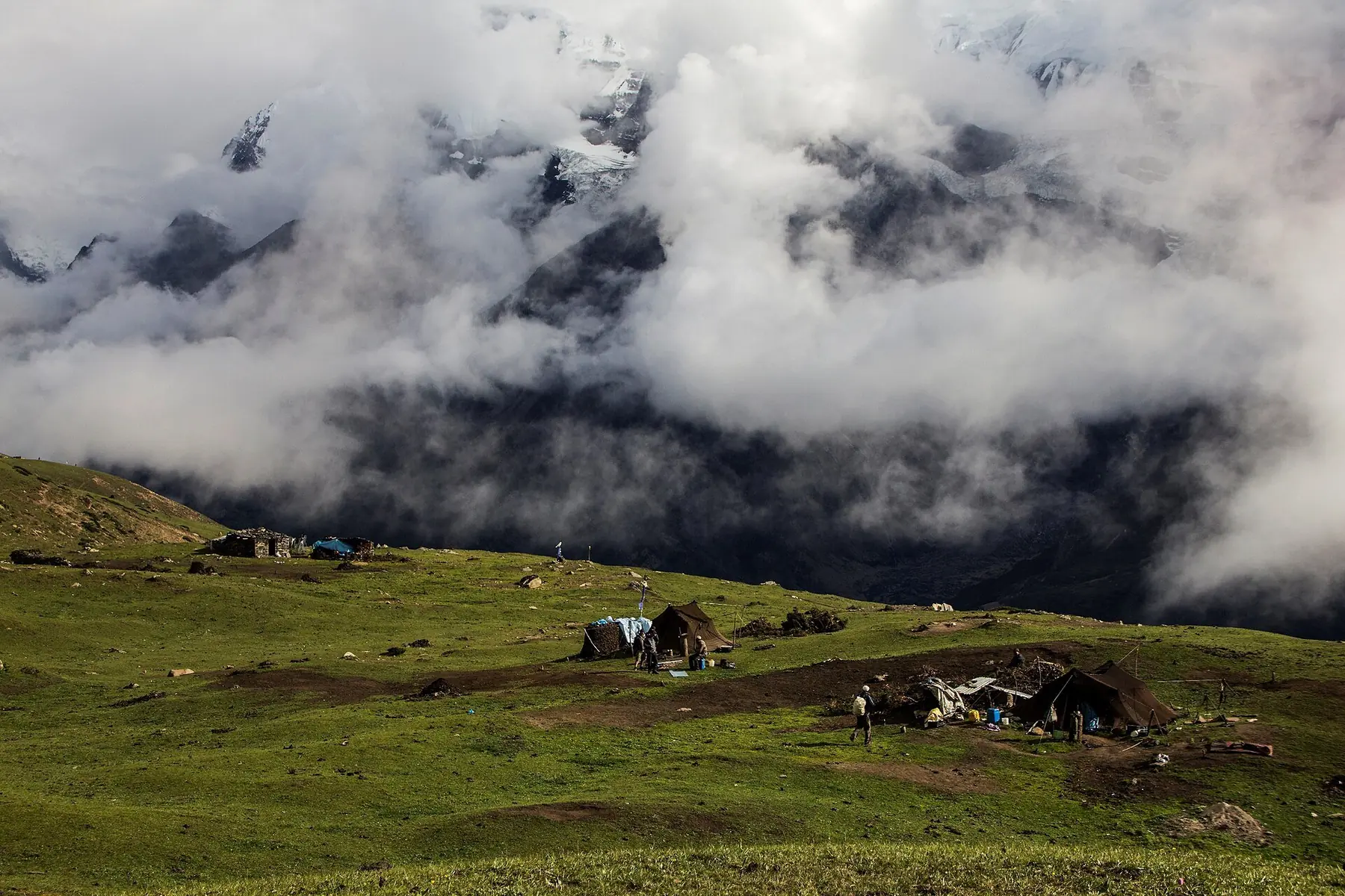
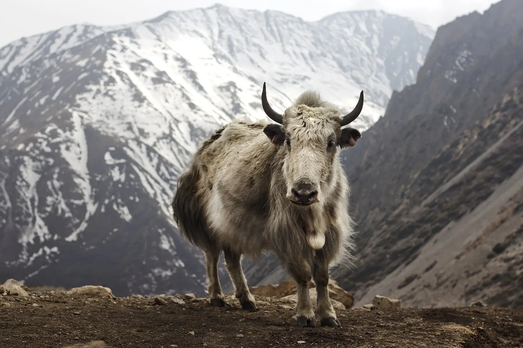
The map changes language: Dingboche, Lobuche, Gorak Shep. Moraine, glacier, yak. The lodges burn yak-dung and sunshine.
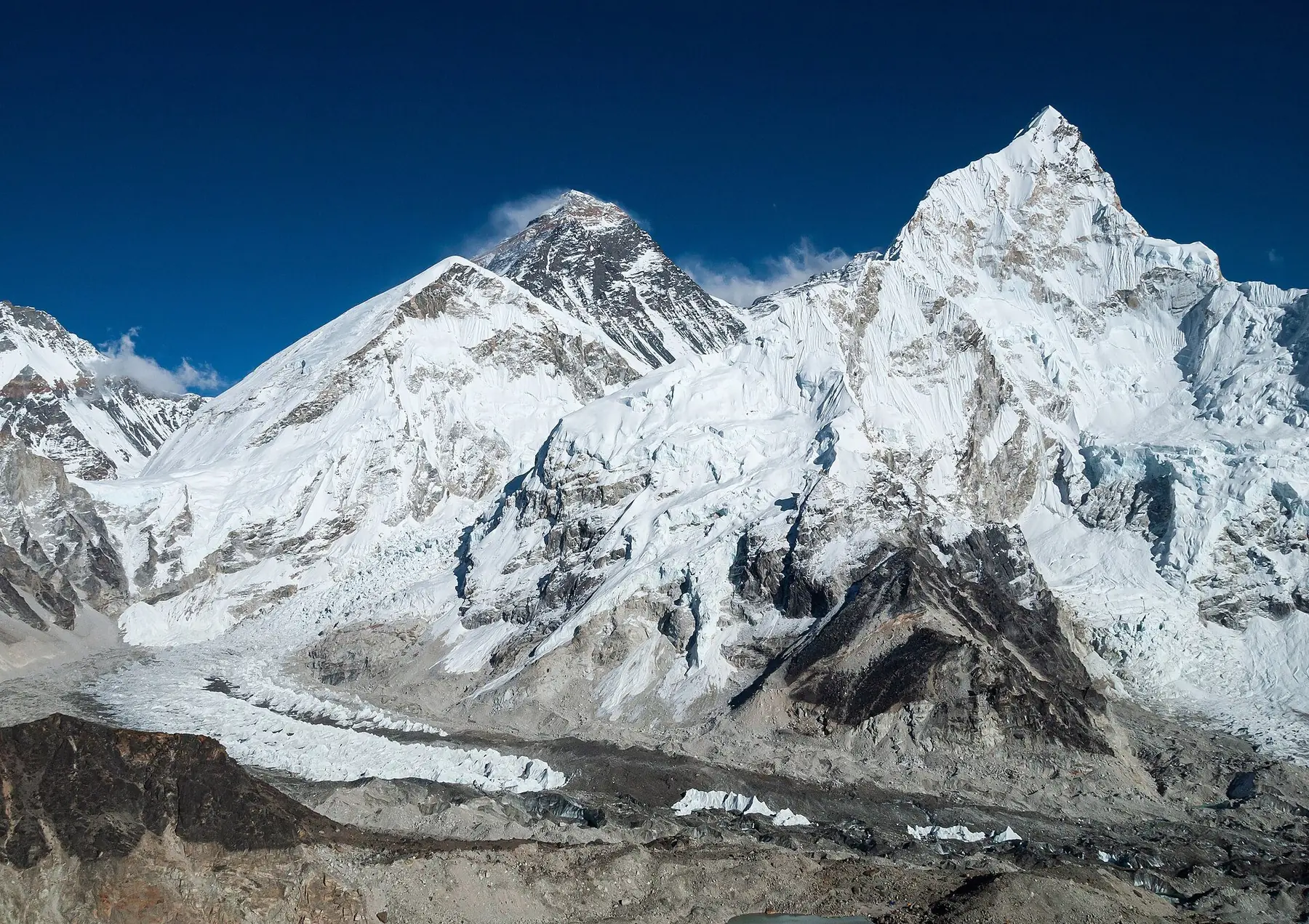
5,364 m — The glacier city
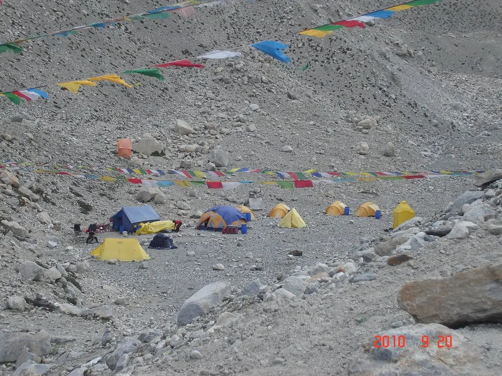
A city of yellow tents on the icefall's threshold. The air is half-finished. Everything that matters in high mountaineering happens here first.
8,849 m — The death zone
The jet stream's front porch. Here, the human body deteriorates by the hour, and the world below arranges itself into weather.
05 — The Database
Fourteen of the world's fourteen 8,000-metre peaks stand in Nepal or on its borders. These are the mountains that make the map. Hover to survey; open to study the route.
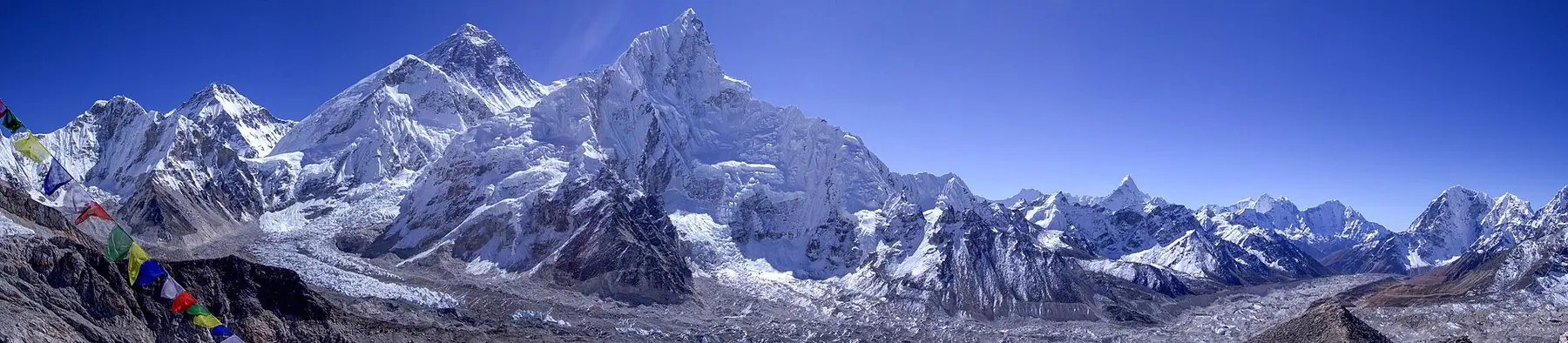
EverestSagarmatha
“The roof of the world.”
06 — The Cartography
Every peak plotted from its real coordinates, every range drawn as its own territory. Select a summit to zoom the survey to it.
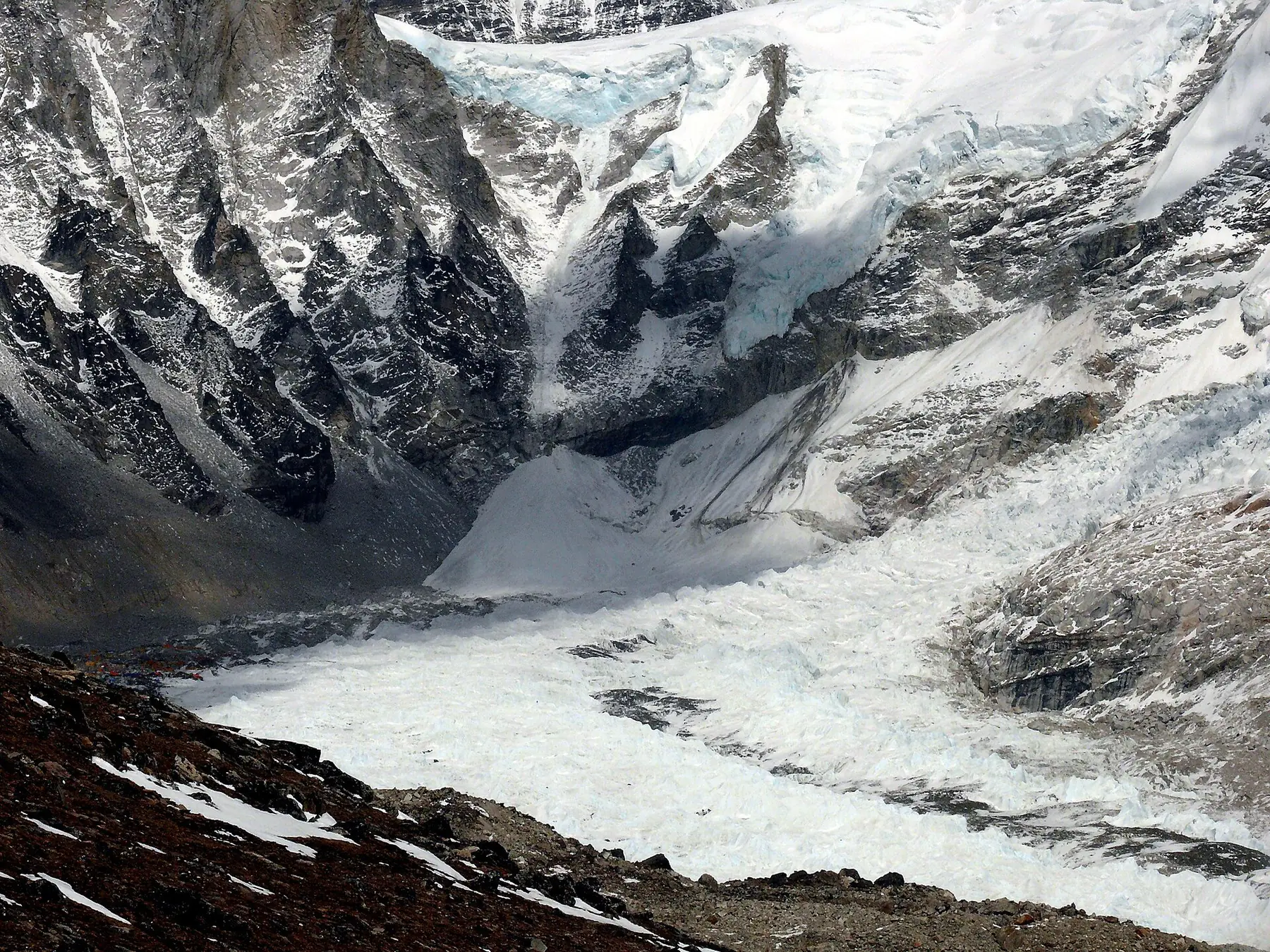
The higher you go,
the quieter the world becomes.
5,364 M
04 — The Ranges
Open the map →Sagarmatha
The high Sherpa homeland under Everest — glaciers, alpine villages and the world's most storied trailhead.
The Sanctuary
A vast wall of eight-thousanders wrapped around the deepest valley on earth — subtropical gorge to Tibetan plateau in one walk.
Kutang
A restricted-circuit around the 'mountain of the spirit' — the wildest of Nepal's great traverses.
The Five Treasures
Nepal's far-east wall on the Sikkim border — remote, glaciated, expedition-grade trekking.
The Great Black
A lone pyramid above the Barun gorge — the deepest valley corridor in the Himalaya.
Valley of Glaciers
The nearest Himalayan valley to Kathmandu — Tamang villages, yak pastures and a 7,000m skyline.
Lo
The former kingdom of Lo — a rain-shadow desert of cave dwellings, a walled city and sky cliffs.
The White Mountain
A colossal ice-mountain rising straight off the subtropical valley floor — Nepal's serious high circuit.
13 — The Decision
The website is the expedition. Your scroll was the climb. The summit is the moment you decide to go — and the mountains have been ready for you all along.
09 — The Expeditions
11 — The People
Nepal's high valleys are not empty scenery. They are working landscapes — terraced, prayed over, and lived in by communities who engineered civilisation at the ceiling of the habitable world. This is their story as much as the peaks'.
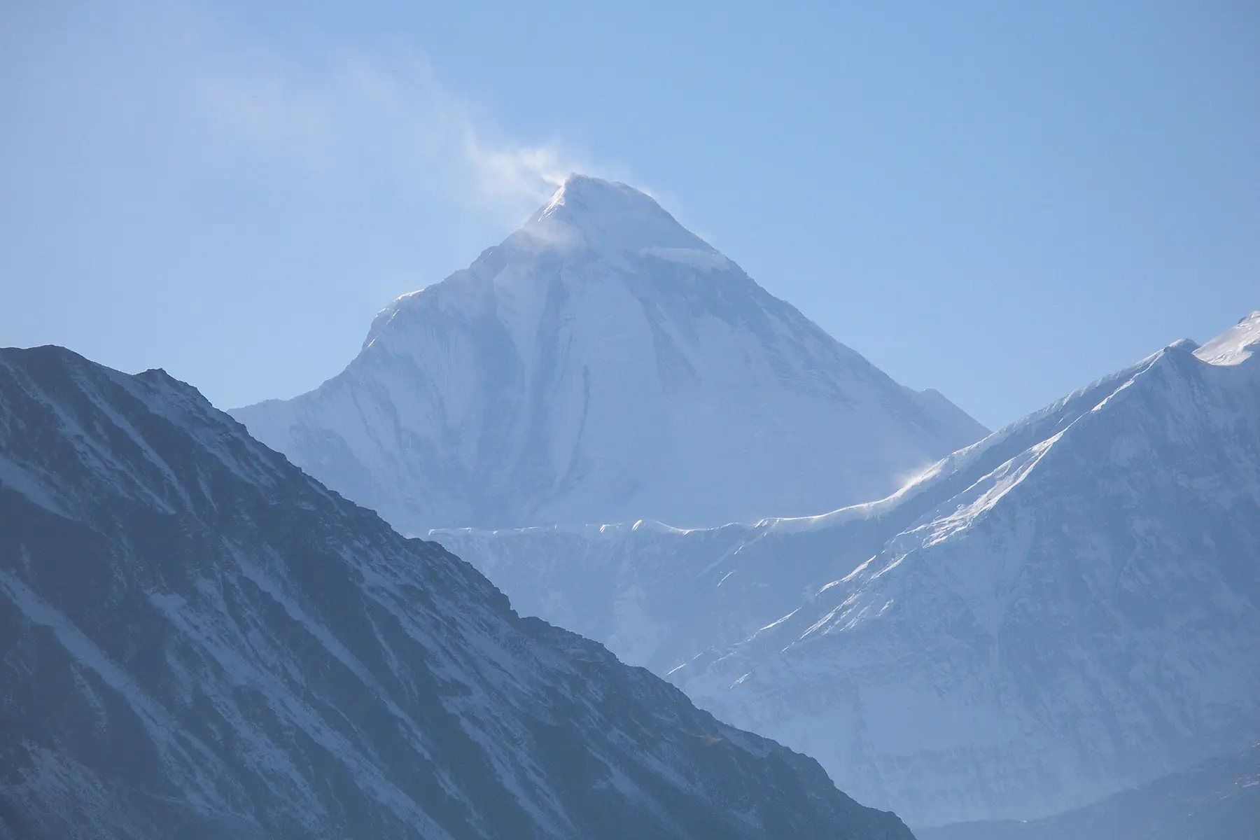
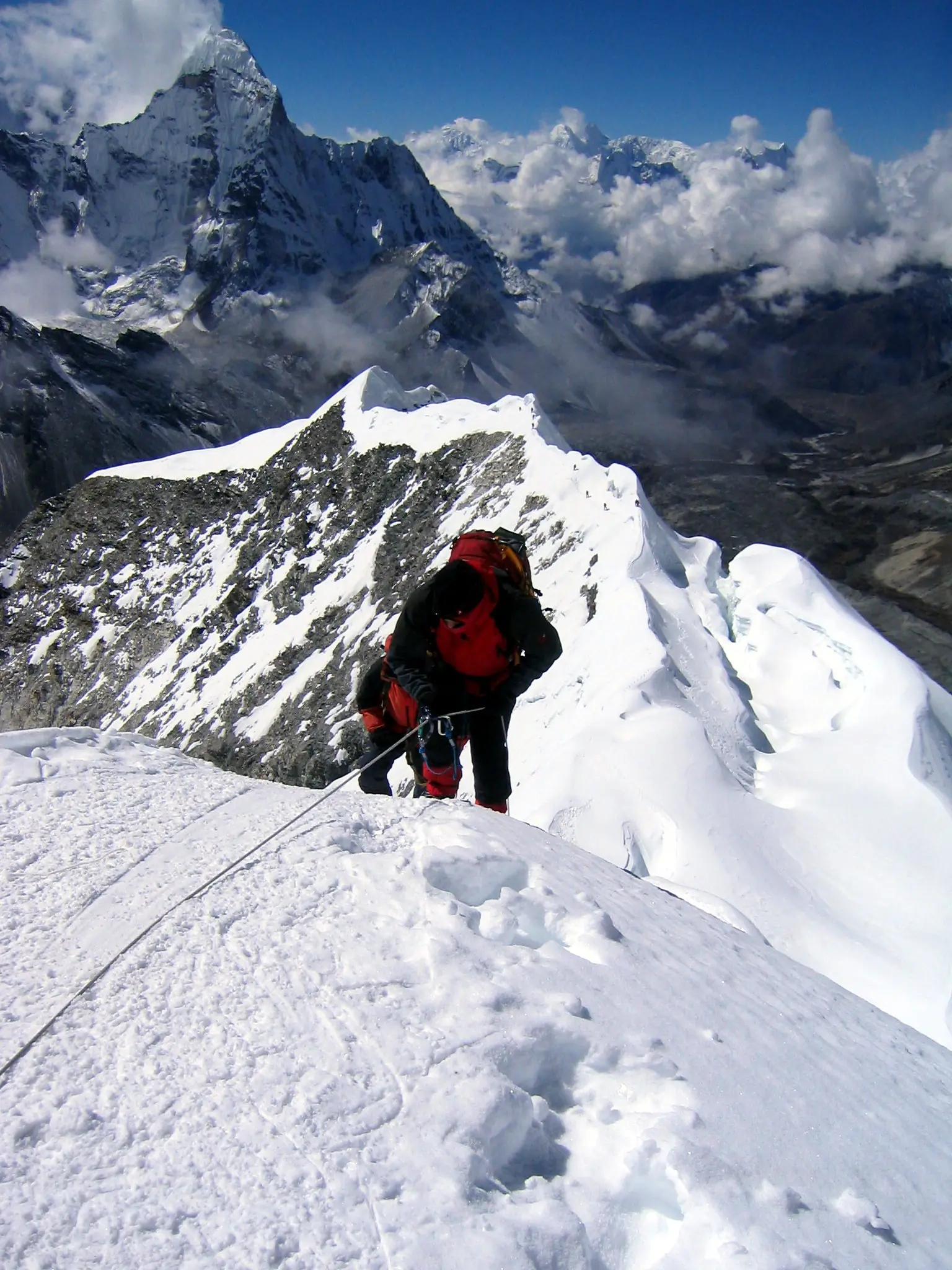
The high-altitude people of Khumbu — Tibetan-origin, Buddhist, and the civilisation that makes Himalayan travel possible: the trails, the lodges, the yak trains, the fixed lines on Everest itself.
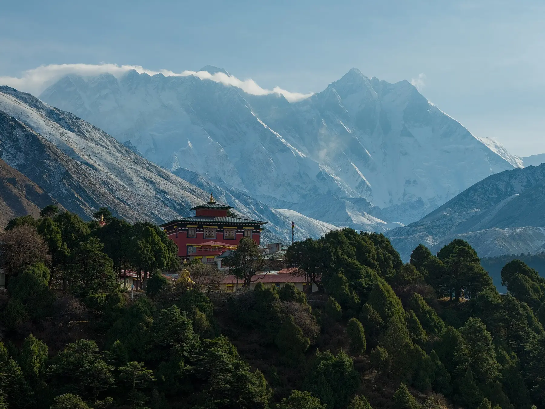
Tengboche, Thame, Pangboche — the spiritual anchors of the high valleys. Nyingma-Pa Buddhist, red-robed, centuries old, and the social heart of every village festival.
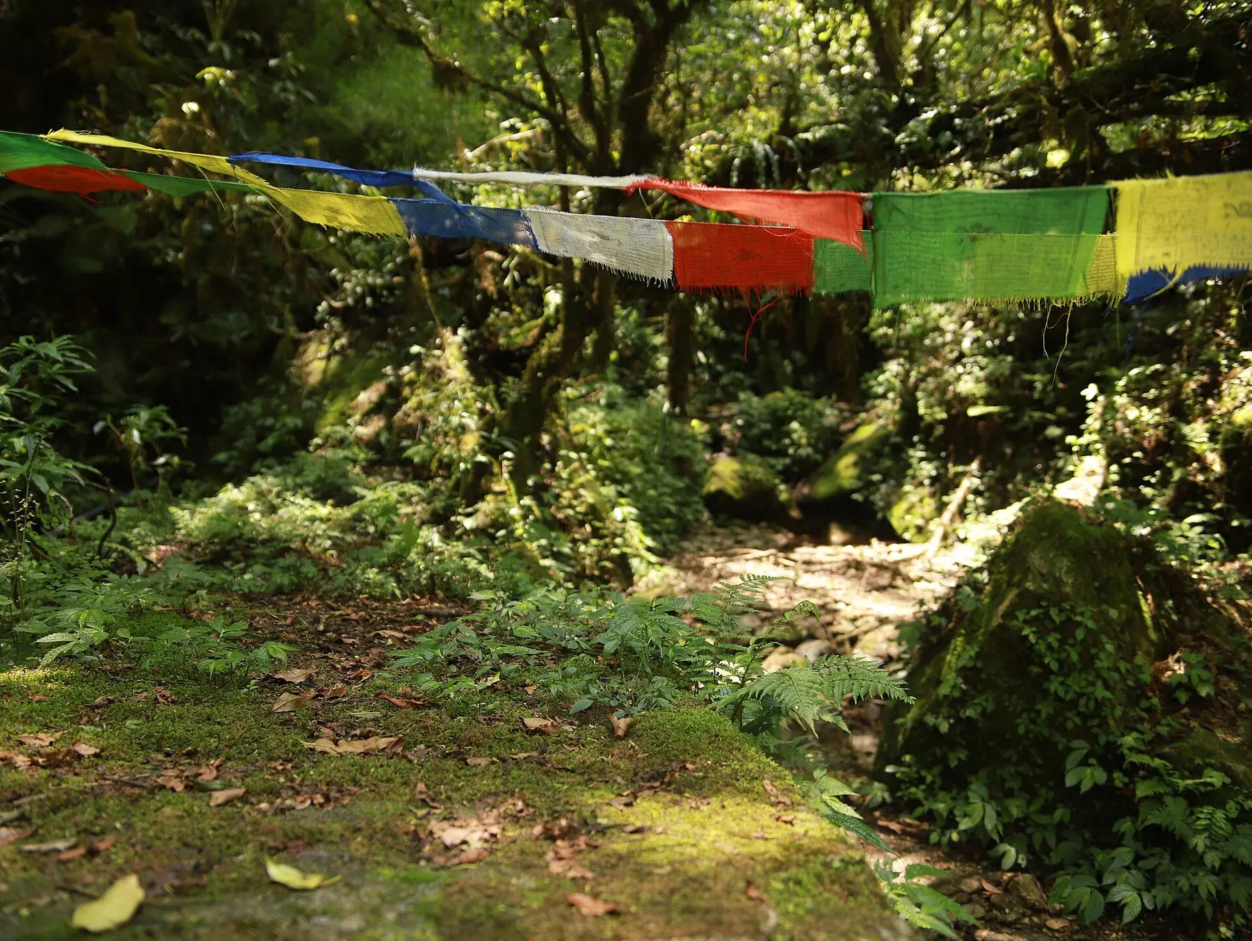
Five colours for the elements, printed with mantras, sent into the wind at every pass and summit. The wind, not the person, does the recitation.
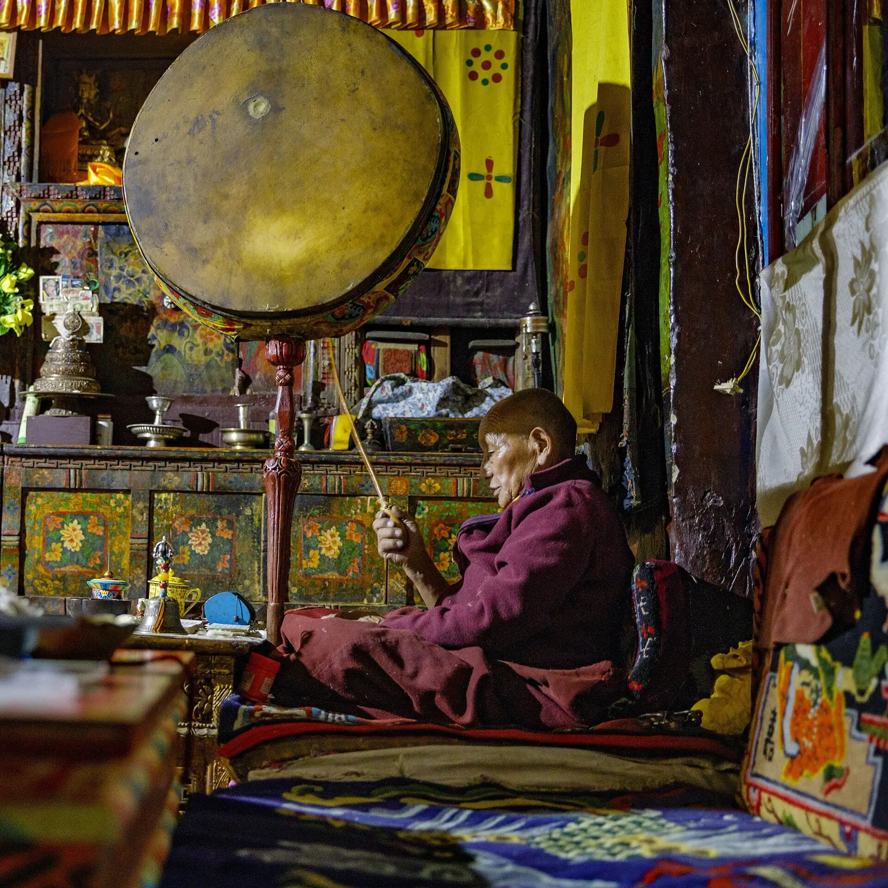
Masked cham dances at Tengboche's Mani Rimdu (autumn) and the Tibetan New Year of Losar (spring) structure the high year — calendars older than the trekking trade.
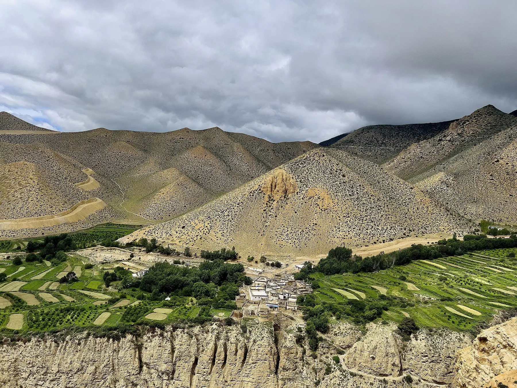
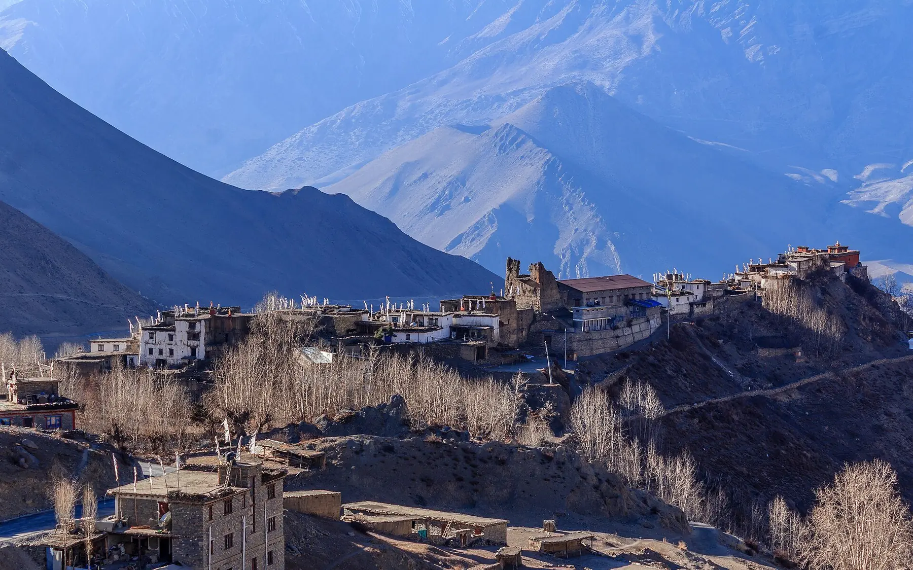
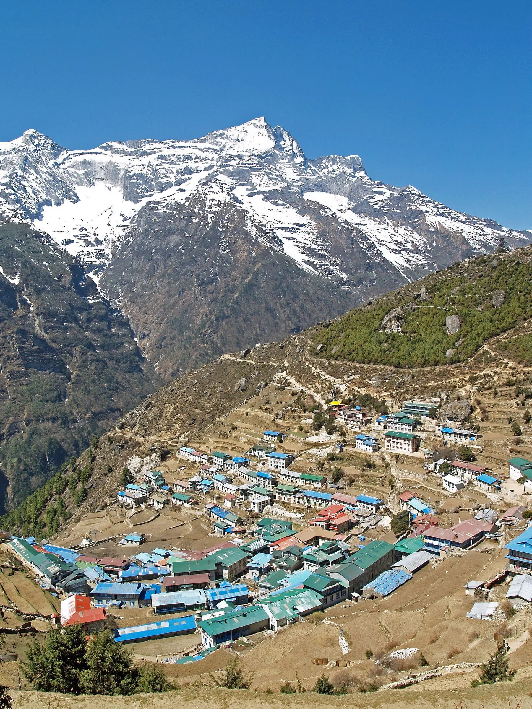
Stone houses with ship-hull curves to shed the wind, potato fields terraced into moraine, and kitchens that are the warmest rooms on the planet at any altitude.
The national power meal: lentils, rice, greens — twice a day on trek, endlessly varied by altitude and season. Above the tree line, the diet shifts to tsampa, yak butter tea and the legendary high-altitude apple pie.
12 — The Journal