Khumbu · Solukhumbu
LHOTSE
8,516 m
The south peak.
01 — The Mountain
The south peak.
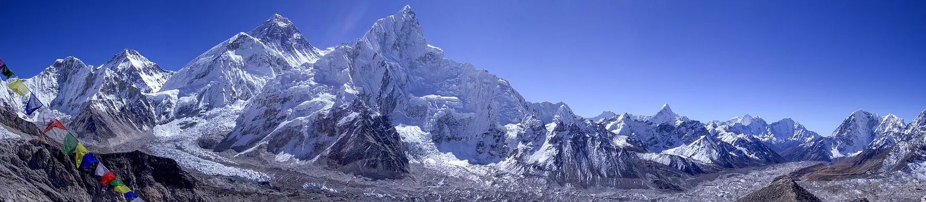
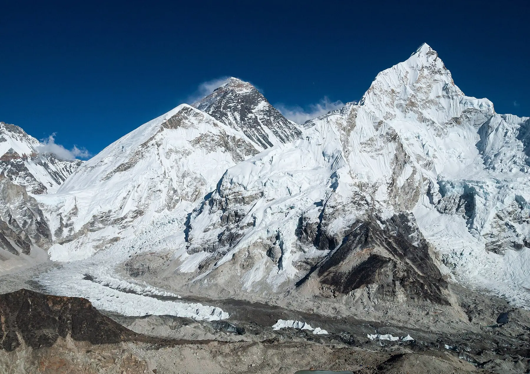
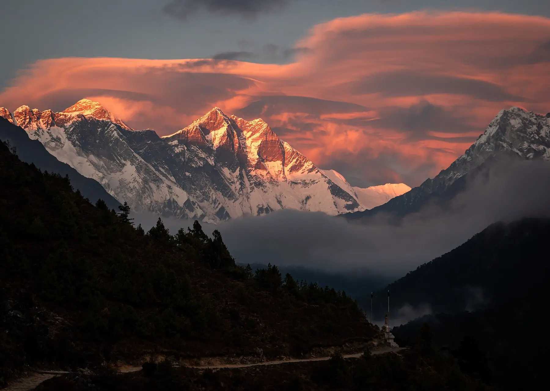
Lhotse means 'south peak' — a name earned by its position immediately south of Everest, connected to it by the South Col at 7,986 m. At 8,516 m it is the fourth-highest mountain on Earth.
Its east face is one of the steepest large faces in the Himalaya. Most expeditions follow the normal route, which shares Everest's line through the Western Cwm and up the Lhotse Face before traversing into a couloir that splits the final rock band.
02 — The Route
The climb, stage by stage.
Stage 01
5,364 m
Base Camp
Stage 02
6,065 m
Camp I
Khumbu Icefall
Stage 03
6,400 m
Camp II
Western Cwm
Stage 04
7,162 m
Camp III
Shared with Everest on the Lhotse Face
Stage 05
7,980 m
Camp IV
South Col area
Summit
8,516 m
Summit
Permits & Access
- Lhotse climbing permit
- Sagarmatha National Park entry
- Liaison officer assignment
Permit requirements and fees change by season and policy — verify with the Department of Tourism / local agencies before planning. Prices intentionally omitted.
03 — Nearby Summits